Beaumaris Photos

Home / Beaumaris Photos


Photographs


Click

on the Menu of
Main Pages here
or

on a blue hyperlink of interest.


Aerial

Views

1999 oblique
view
 of
Beaumaris approaching it from Mentone, at
450 metres height, in 1999


1999

oblique view of the Beaumaris Cliff,
which is now on the Register of the National Estate


1998-99
oblique views of the BEAUMARIS
COASTLINE from 170 m height


1970s

vertical view of Donald
MacDonald Reserve and its environs, in the
1970s.

Use up to 400%
magnification
to zoom in to see more detail.


1963

vertical view of north
central Beaumaris, December 1963 – zoom

in at 400%.
North Concourse and Railway Reserve on Gareth
Avenue are
still uncleared.


1951
vertical view
of Beaumaris
from 4,000 metres, in January 1951 – use
up to
400% magnification
to

zoom in to see your street or reserve as
it was then.


1945 aerial view
of Beaumaris: Click on the photograph to
zoom in. See also a
comparison of 1945 to today.


2008

Colour

photographs and details of each of the 193

Beach Park signs – showing
the effect each has on its setting –
alongside Ricketts Point Marine Sanctuary


2003

Mussel

Farm in Beaumaris Bay when it was
limited to 6 hectares,
and

before it was allowed to extend to 24
hectares (60 acres)


2002

Slideshow of
views of Beach Park
from Beach Road
between Charman
Road and Cromer
Road


1966

Views

of Holding Street and High

Street, Beaumaris, just
before they were constructed in 1966, and
as they were in 2007.


1960s

Views

in the late 1960s of South Concourse, Beaumaris
High School,
and near 92 Haldane Street,
can be seen on Richard Felstead’s Web
site accessible here.


  1954
 
View of 22
Anita Street, Beaumaris,

which also
appeared on the front page of ‘Home

Beautiful‘. Its architect was the late Lindsay
Bunnett
, who was also a member of
Beaumaris
Conservation Society Inc.
    

c.

1925

‘Early Morning Beaumaris’ – a  Clarice

Beckett painting, overlooking

BeaumarisBay
from Bodley
Street, and
link
to a 1950
photograph of the nearby Beaumaris Hotel


1898

Watkins Bay from the Dalgetty Road
end,
which looks little
different today
. See

also other historical photos of Beaumaris
on the State Library of
Victoria Web site


  c.

1880

  Zoomable high resolution
photo of
BeaumarisBay

from near Keys Street,
looking north-east, to the
Beaumaris Cliff

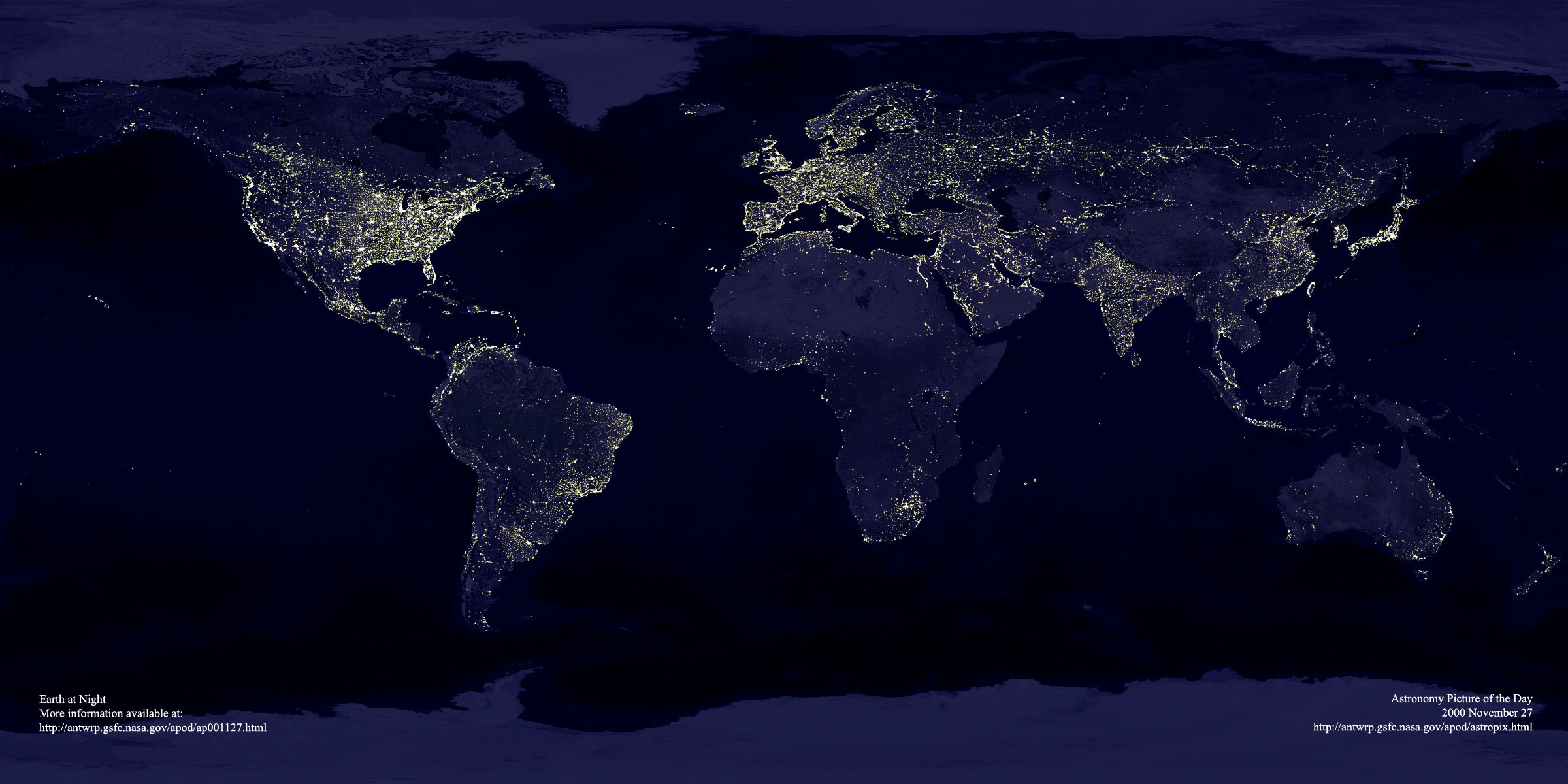
Satellite

photo of the world at
night
. Enlarge it by a
click on the icon on its bottom right
corner,
to see the extent of urban light pollution
of the night sky.


Click here to go to Port
Phillip Conservation Council Inc.